Sale Price:
$15.00
Original Price:
$20.00
This product has minor imperfections. Riverbend Press is committed to a high standard of quality for all of our products. However, many of the items which we would not sell at full price are still beautiful books which could be enjoyed by readers for many generations to come. We would like to offer these to you at a discount. Minor imperfections may include (but are not limited to) scratches and dents, imperfect cover stamping, minor defects in materials, or slightly skewed book covers.
The primary issue with these World Atlases is that the back cover is slightly short, showing a small white edge. See the included photo.
This atlas contains over 90 historical maps and diagrams by editor George Philip, F.R.G.S. Philips’ historical maps are excellent maps designed for the study of physical geography “featuring a uniform system of coloring for the clear expression of physical features.” Included in the front matter is a letterpress comparing major geological features across continents. Our historical reprint edition pulls from five historical Philips’ editions in order to create a comprehensive World Atlas. We have added a series of updated political maps for easy reference.
80 pages, full color reprint, fold-sewn durable softcover design. Our atlas lies flat and is flexible for easy use on your school table. 8.75” x 11” x 0.25”.
This product has minor imperfections. Riverbend Press is committed to a high standard of quality for all of our products. However, many of the items which we would not sell at full price are still beautiful books which could be enjoyed by readers for many generations to come. We would like to offer these to you at a discount. Minor imperfections may include (but are not limited to) scratches and dents, imperfect cover stamping, minor defects in materials, or slightly skewed book covers.
The primary issue with these World Atlases is that the back cover is slightly short, showing a small white edge. See the included photo.
This atlas contains over 90 historical maps and diagrams by editor George Philip, F.R.G.S. Philips’ historical maps are excellent maps designed for the study of physical geography “featuring a uniform system of coloring for the clear expression of physical features.” Included in the front matter is a letterpress comparing major geological features across continents. Our historical reprint edition pulls from five historical Philips’ editions in order to create a comprehensive World Atlas. We have added a series of updated political maps for easy reference.
80 pages, full color reprint, fold-sewn durable softcover design. Our atlas lies flat and is flexible for easy use on your school table. 8.75” x 11” x 0.25”.
 Image 1 of 7
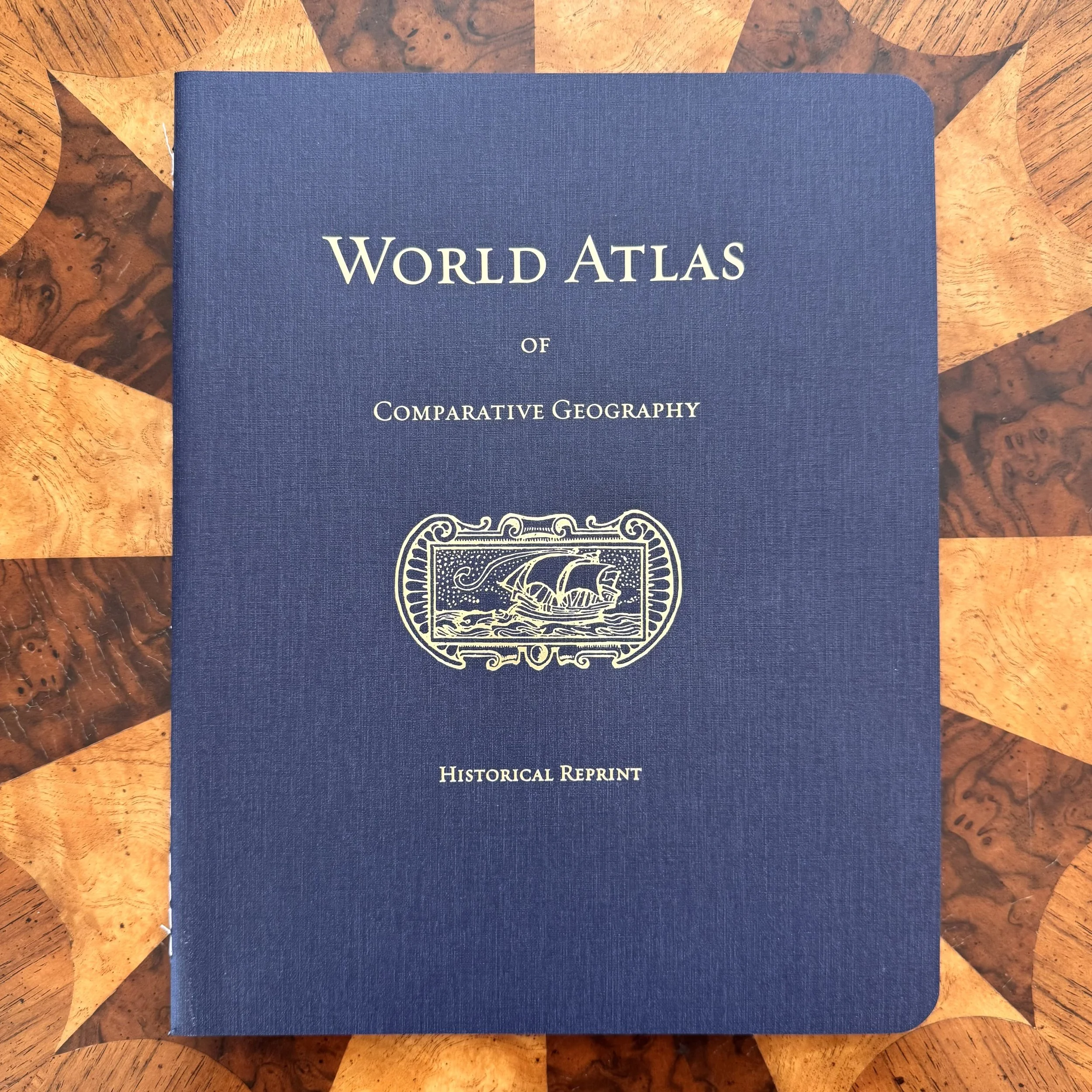 Image 2 of 7
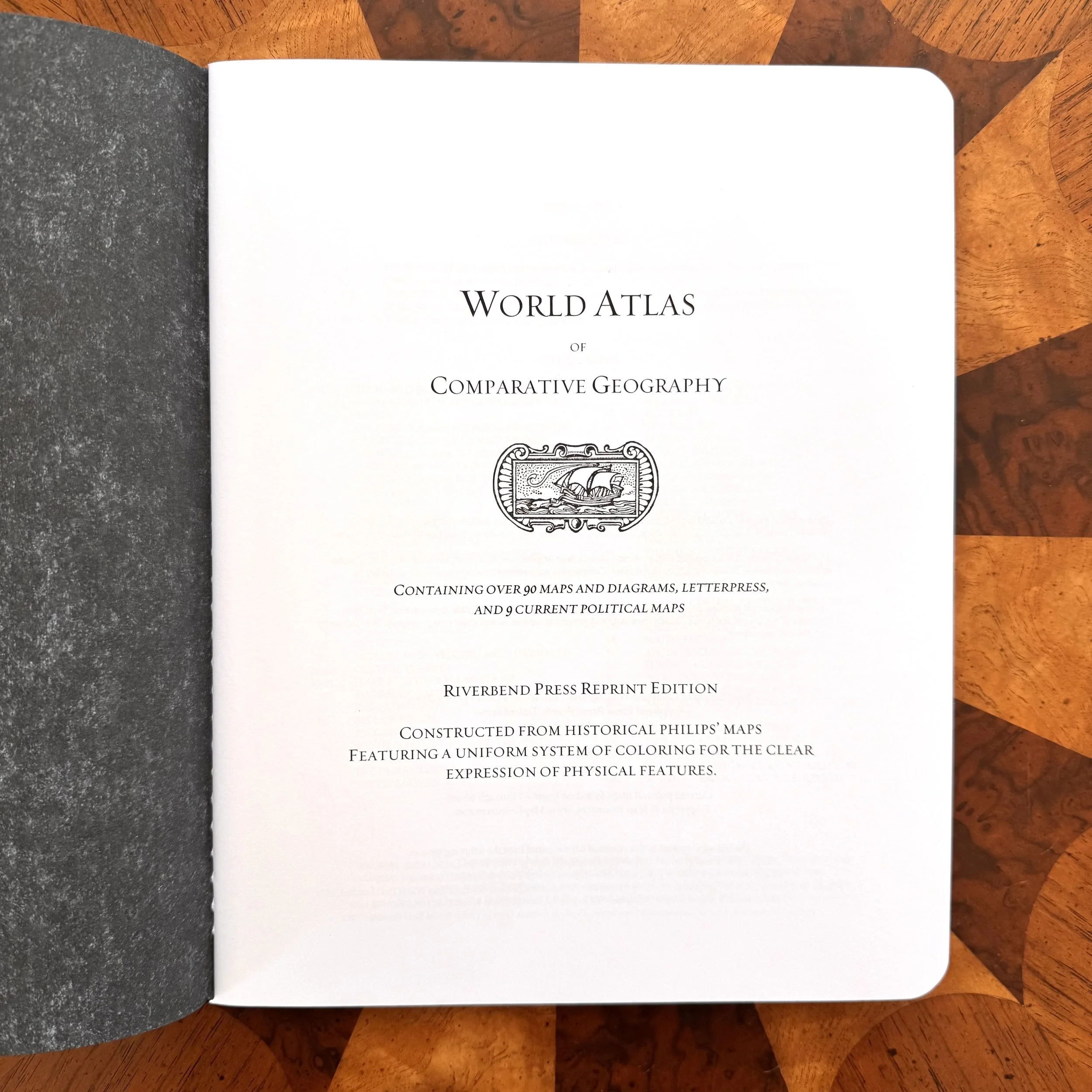 Image 3 of 7
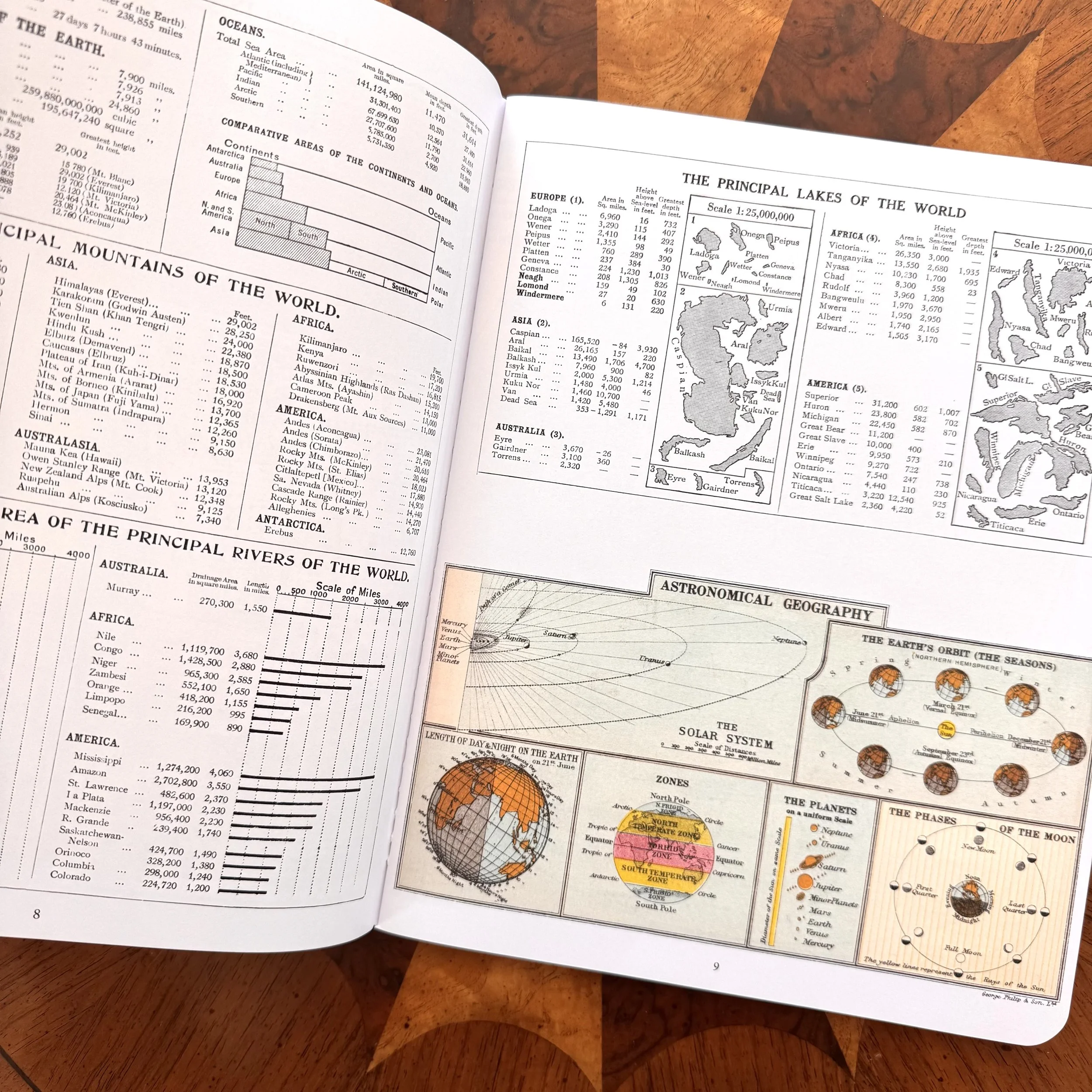 Image 4 of 7
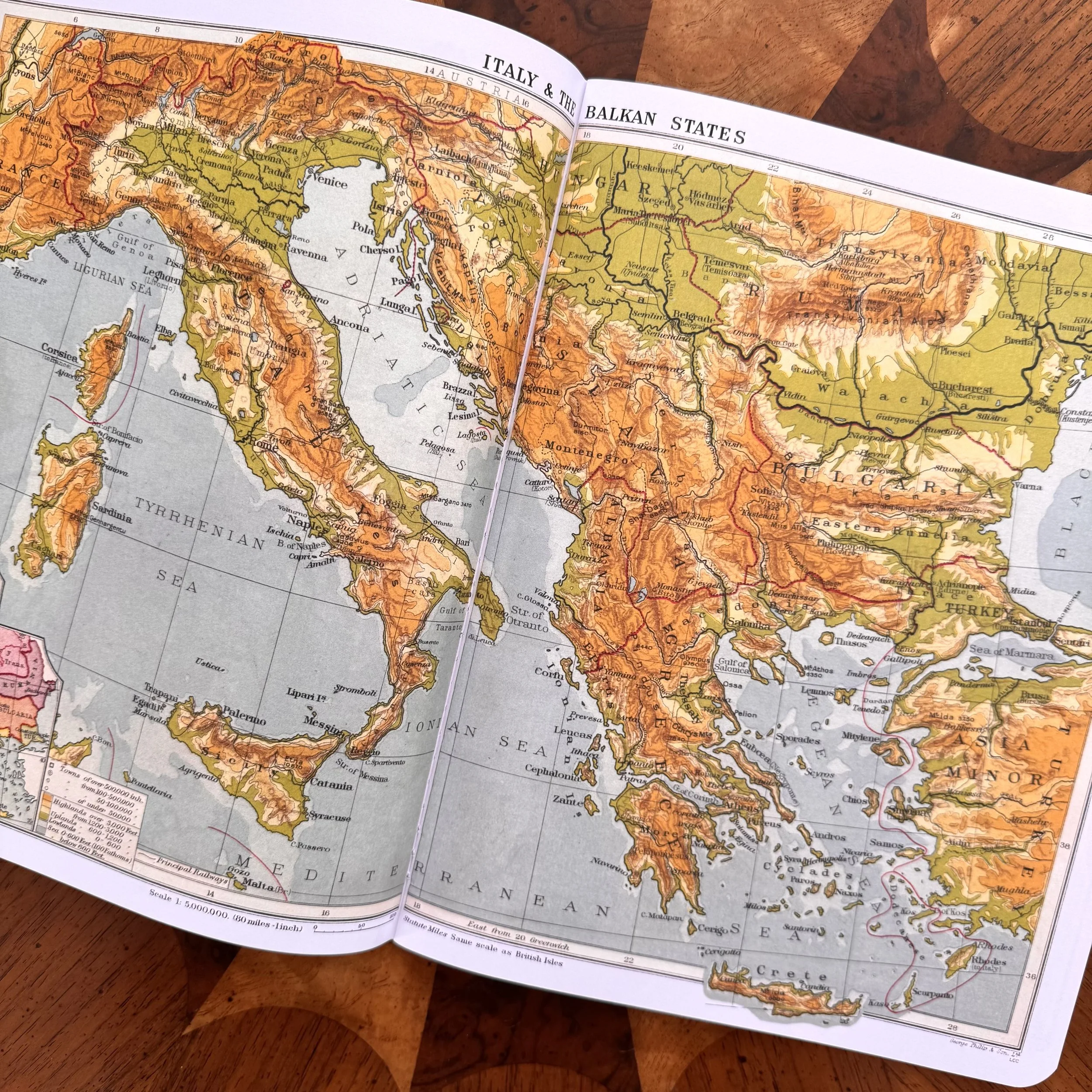 Image 5 of 7
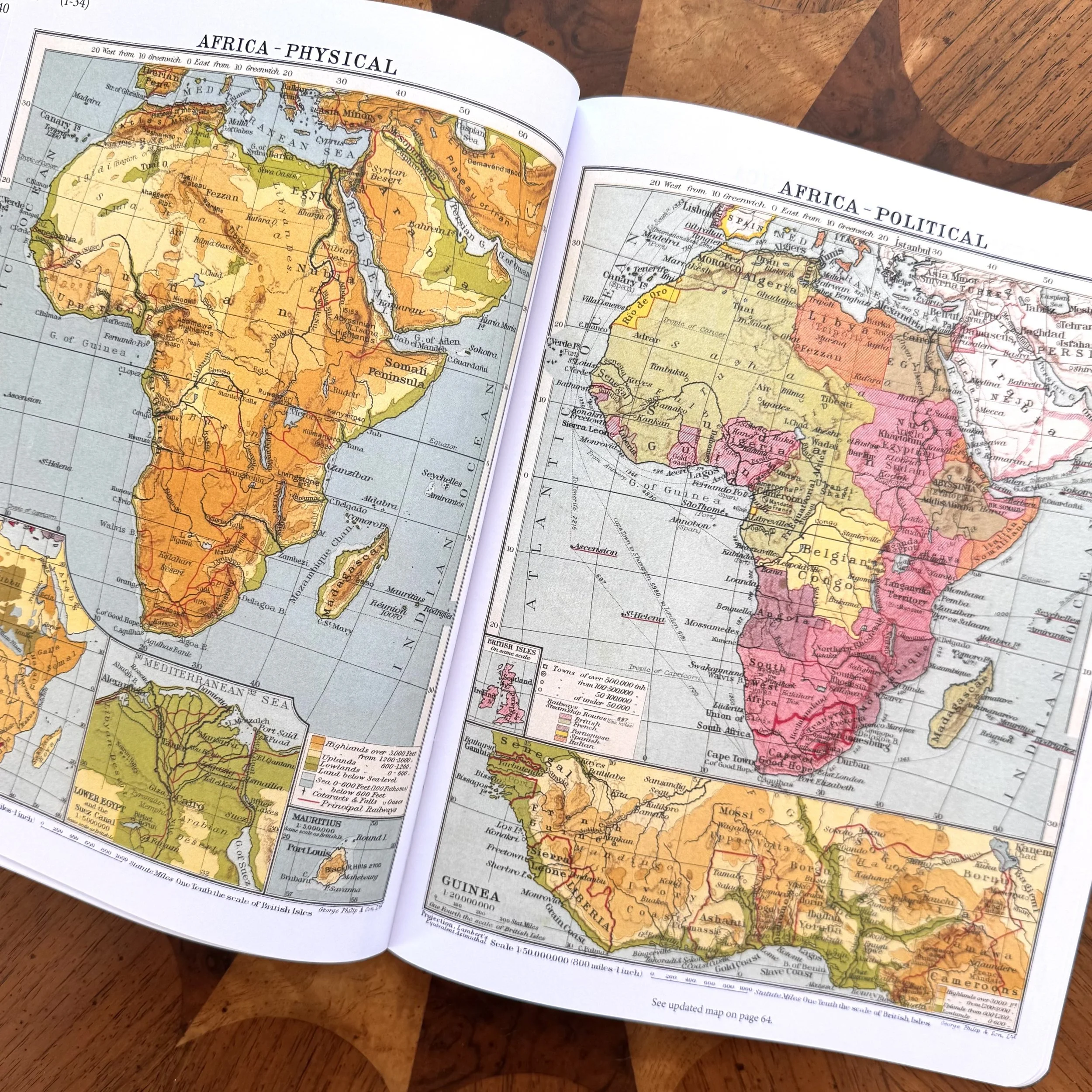 Image 6 of 7
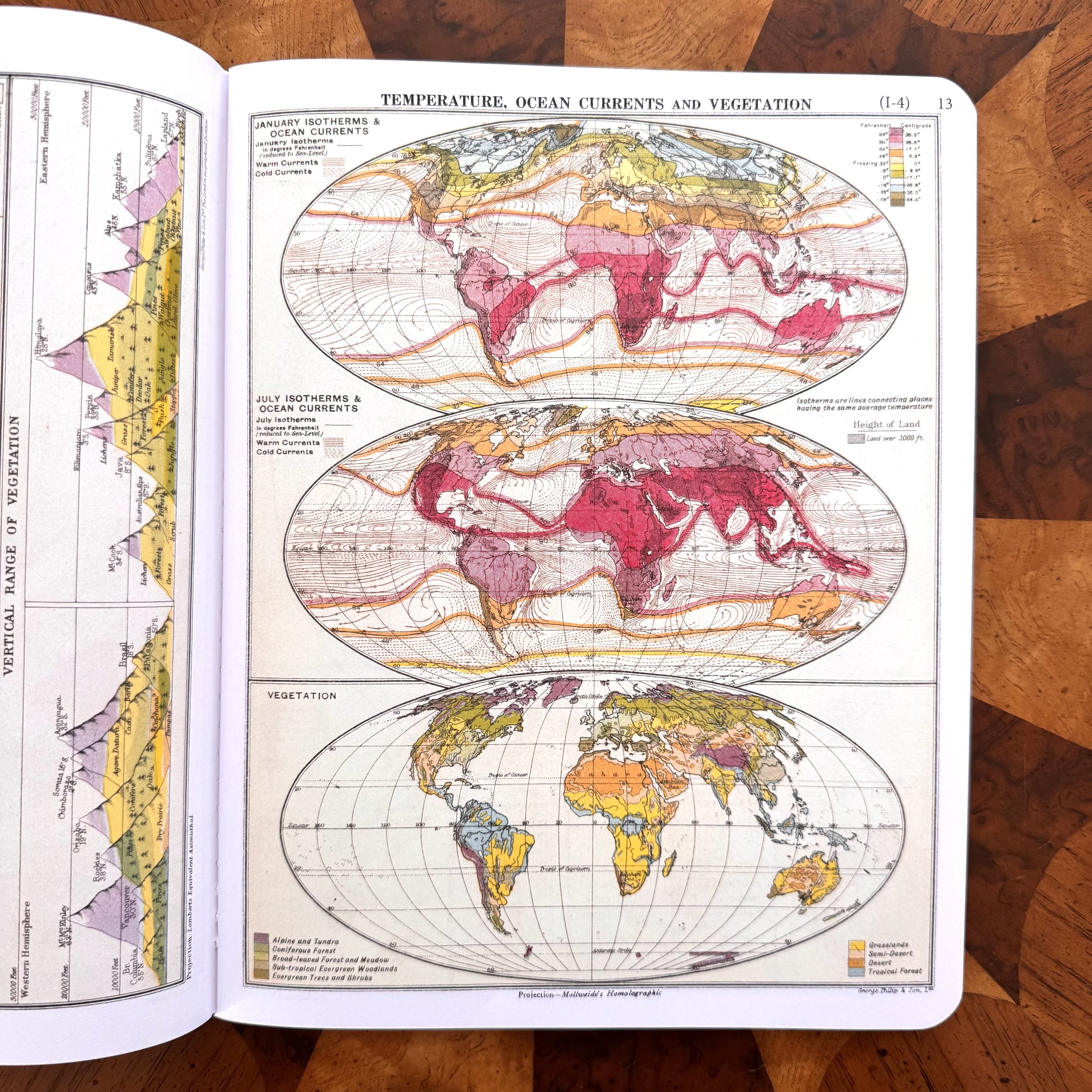 Image 7 of 7