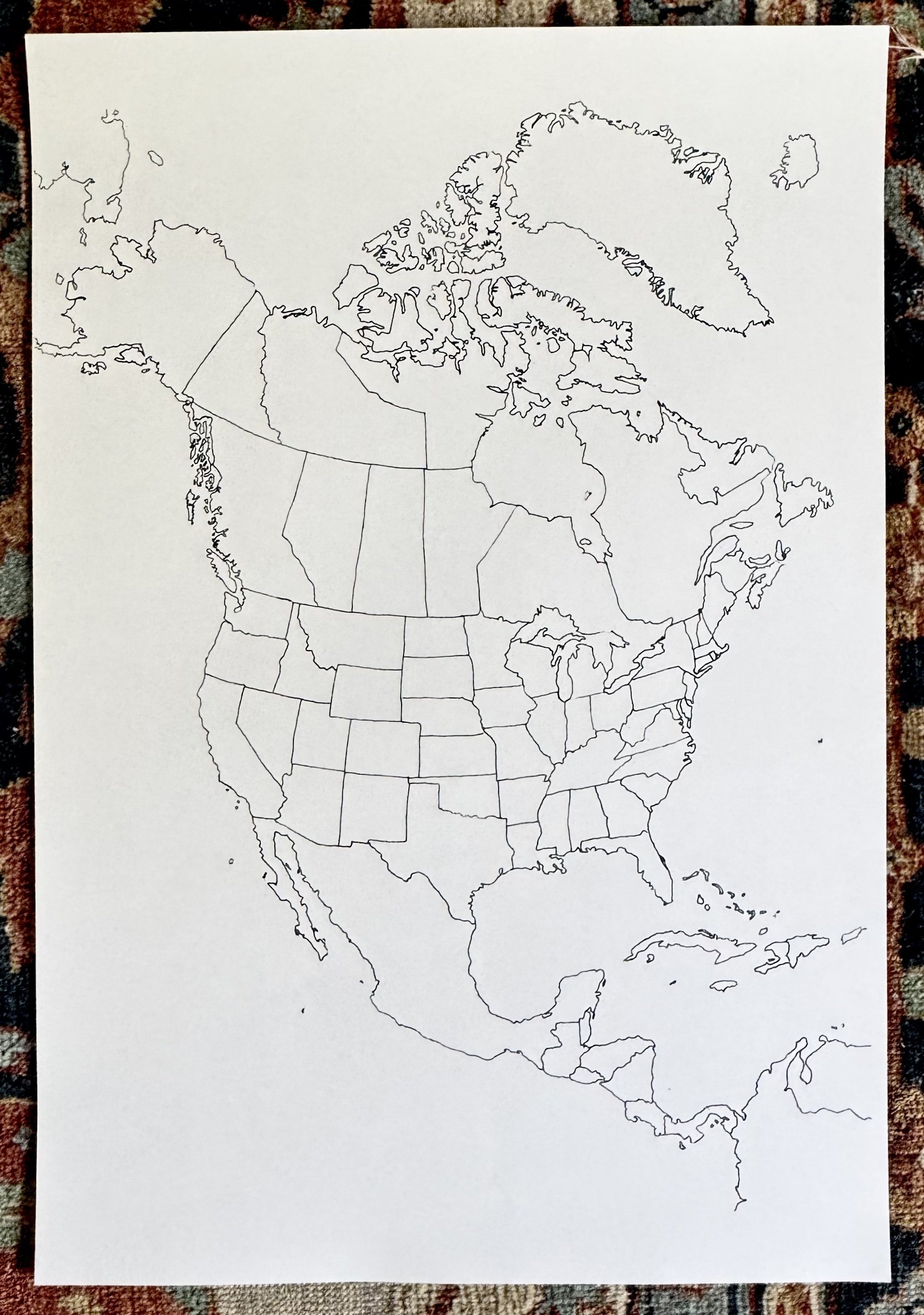
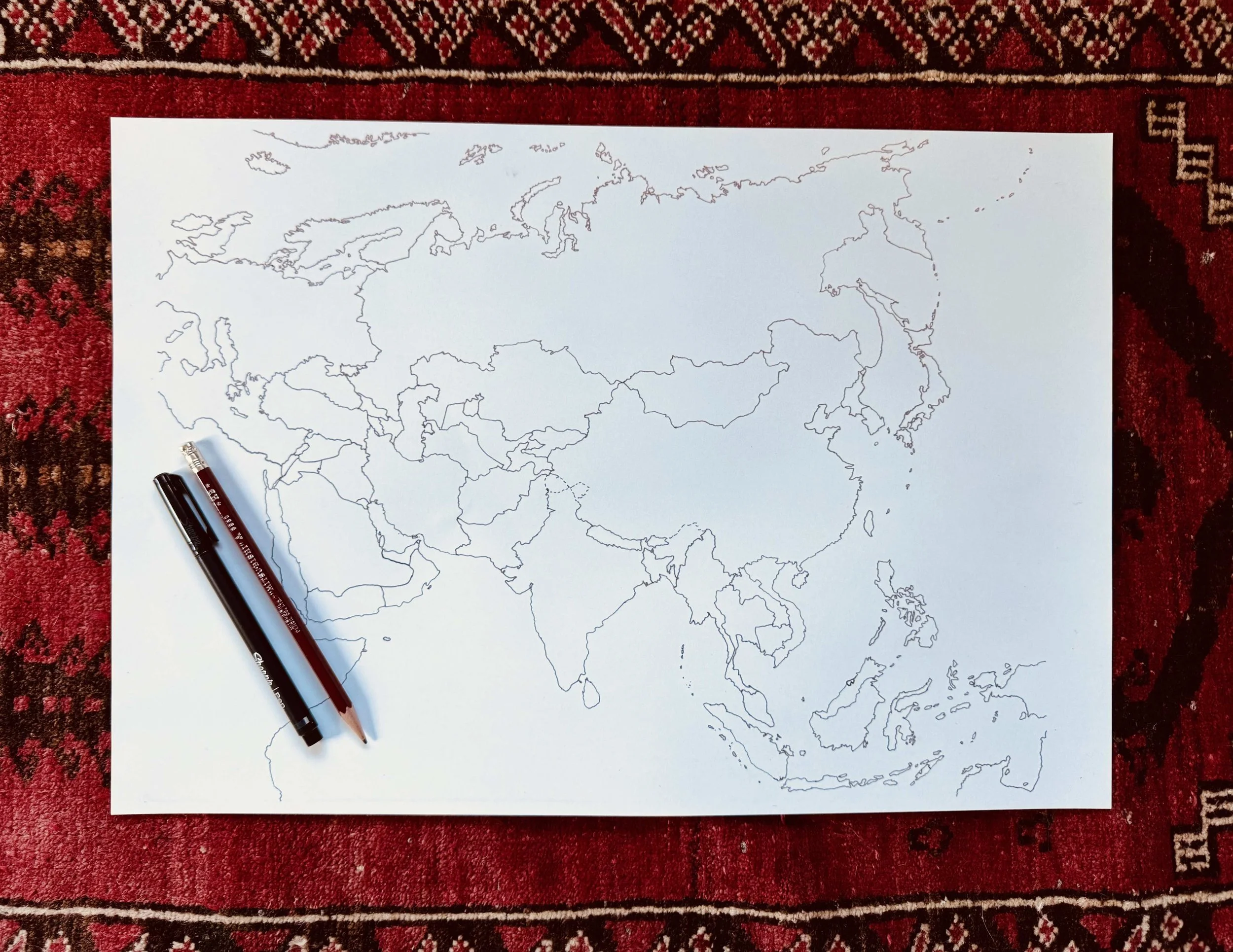
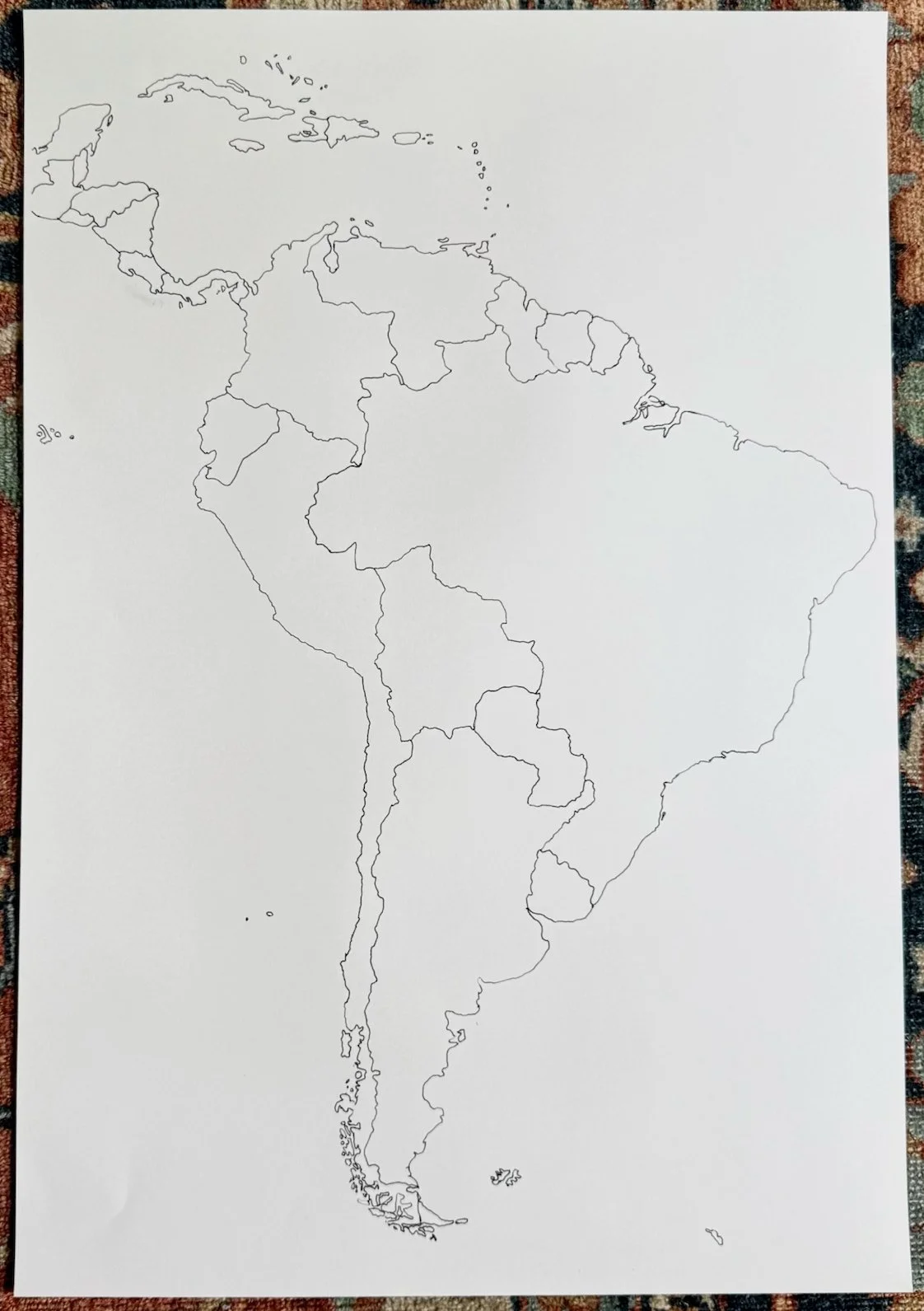
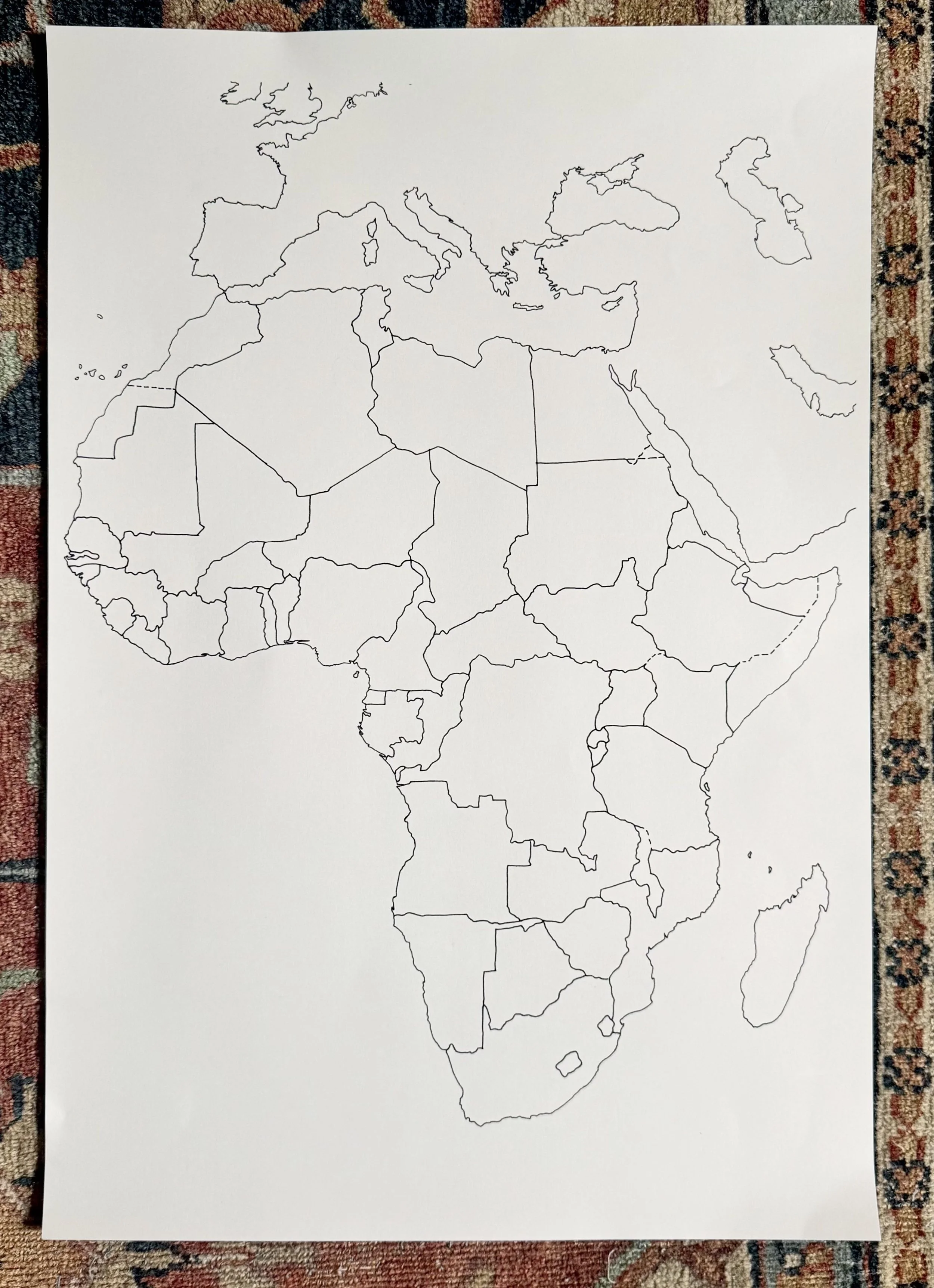
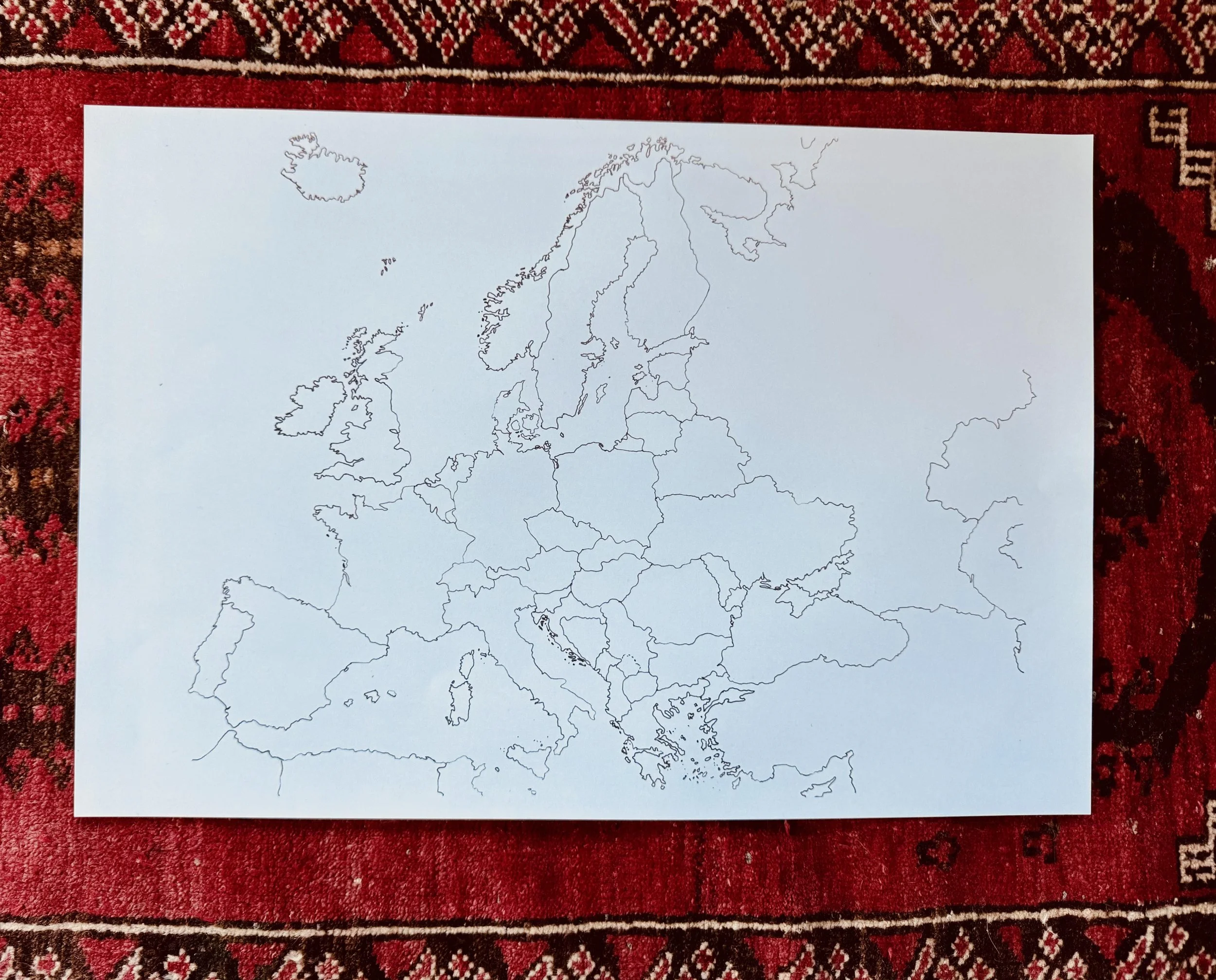
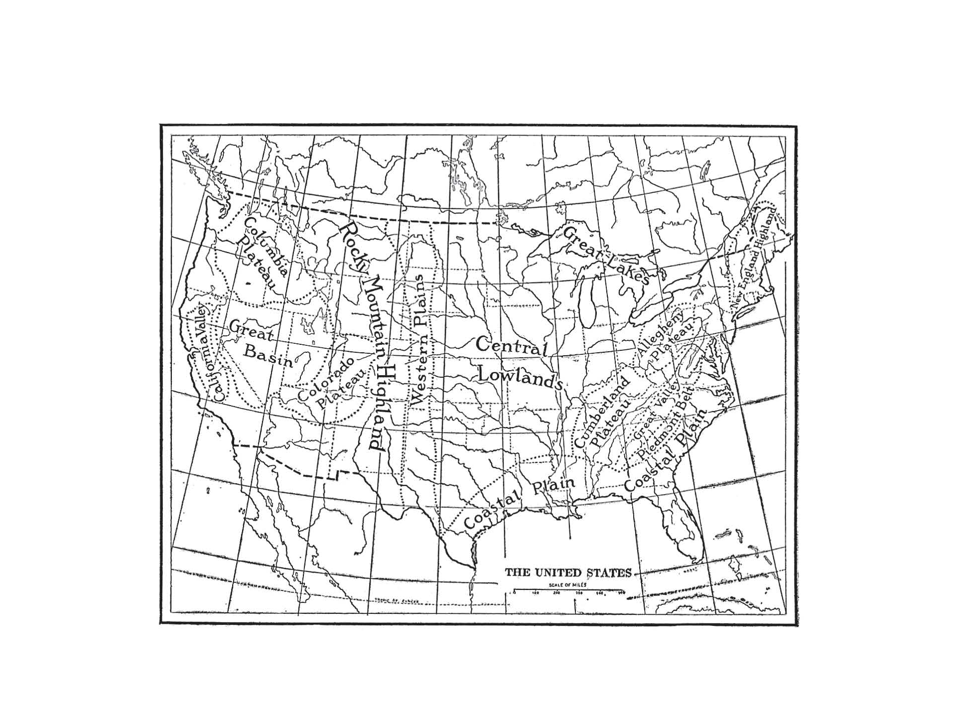
Our large format hand-drawn blank maps add to your geography and history work at home. This “borders only” map provides a blank form for students to develop their creative narrations of history and geography.
This map is double-sided. The one-side features the continental United States. The reverse features Hawaii and Alaska. Hawaii and Alaska are printed on the coated-side of the material which will work best with markers and pens, as opposed to pencils and watercolor paints. Note: Hawaii has been enlarged with the approximate scale noted on the map.
Here are a few examples of the different ways we have used these maps:
Adding important geographical features such as rivers, lakes, and mountains, as you progress in your geography reading through a specific region or continent
Adding important cities, sites, and local resources that are produced and exported
Tracking historical journeys both on land and sea, noting events that happened along the way!
Recording important battles and the migration of people, from our history books and bible reading
Narrating Halliburton’s Book of Marvels, one of our favorites! (More maps coming soon!)
The hand-drawn border lines are designed to incorporate with students’ additions, so their own work comes to life. This approach gives space for our minds to go deep into the wonderful and mysterious places of the world.
Students can complete these maps with a variety of art supplies — pen, pencil, marker, colored pencil and even dry-brush watercolor!
Great for family or school/co-op use. Some images have been added to our gallery for inspiration.
We will continue to add to this collection with new continents and regions of the world. We would love to hear your suggestions! Please send ideas to info@riverbendpress.com.
Our large format hand-drawn blank maps add to your geography and history work at home. This “borders only” map provides a blank form for students to develop their creative narrations of history and geography.
This map is double-sided. The one-side features the continental United States. The reverse features Hawaii and Alaska. Hawaii and Alaska are printed on the coated-side of the material which will work best with markers and pens, as opposed to pencils and watercolor paints. Note: Hawaii has been enlarged with the approximate scale noted on the map.
Here are a few examples of the different ways we have used these maps:
Adding important geographical features such as rivers, lakes, and mountains, as you progress in your geography reading through a specific region or continent
Adding important cities, sites, and local resources that are produced and exported
Tracking historical journeys both on land and sea, noting events that happened along the way!
Recording important battles and the migration of people, from our history books and bible reading
Narrating Halliburton’s Book of Marvels, one of our favorites! (More maps coming soon!)
The hand-drawn border lines are designed to incorporate with students’ additions, so their own work comes to life. This approach gives space for our minds to go deep into the wonderful and mysterious places of the world.
Students can complete these maps with a variety of art supplies — pen, pencil, marker, colored pencil and even dry-brush watercolor!
Great for family or school/co-op use. Some images have been added to our gallery for inspiration.
We will continue to add to this collection with new continents and regions of the world. We would love to hear your suggestions! Please send ideas to info@riverbendpress.com.
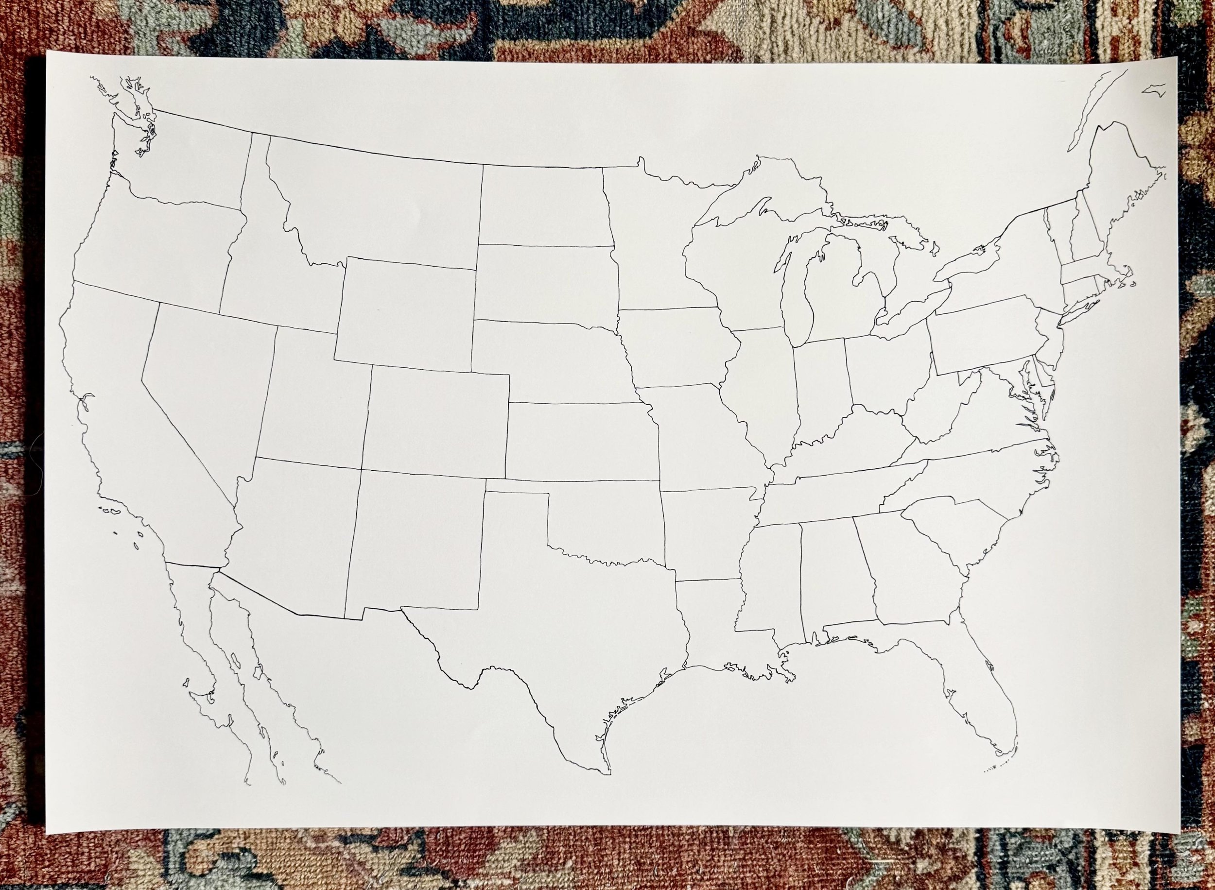 Image 1 of 7
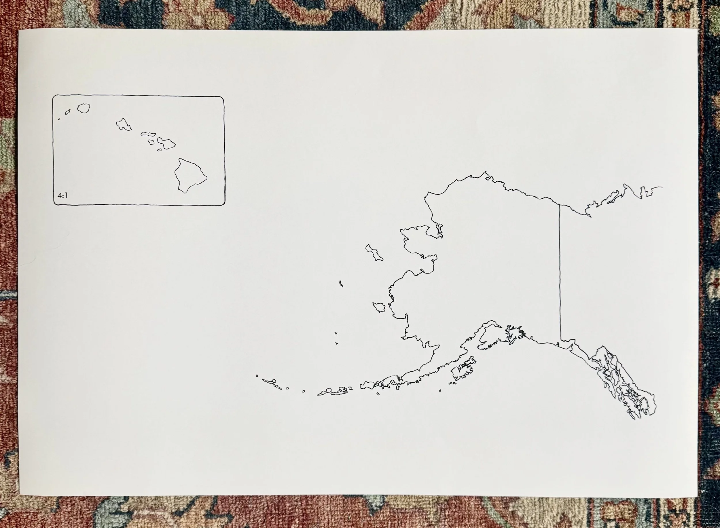 Image 2 of 7
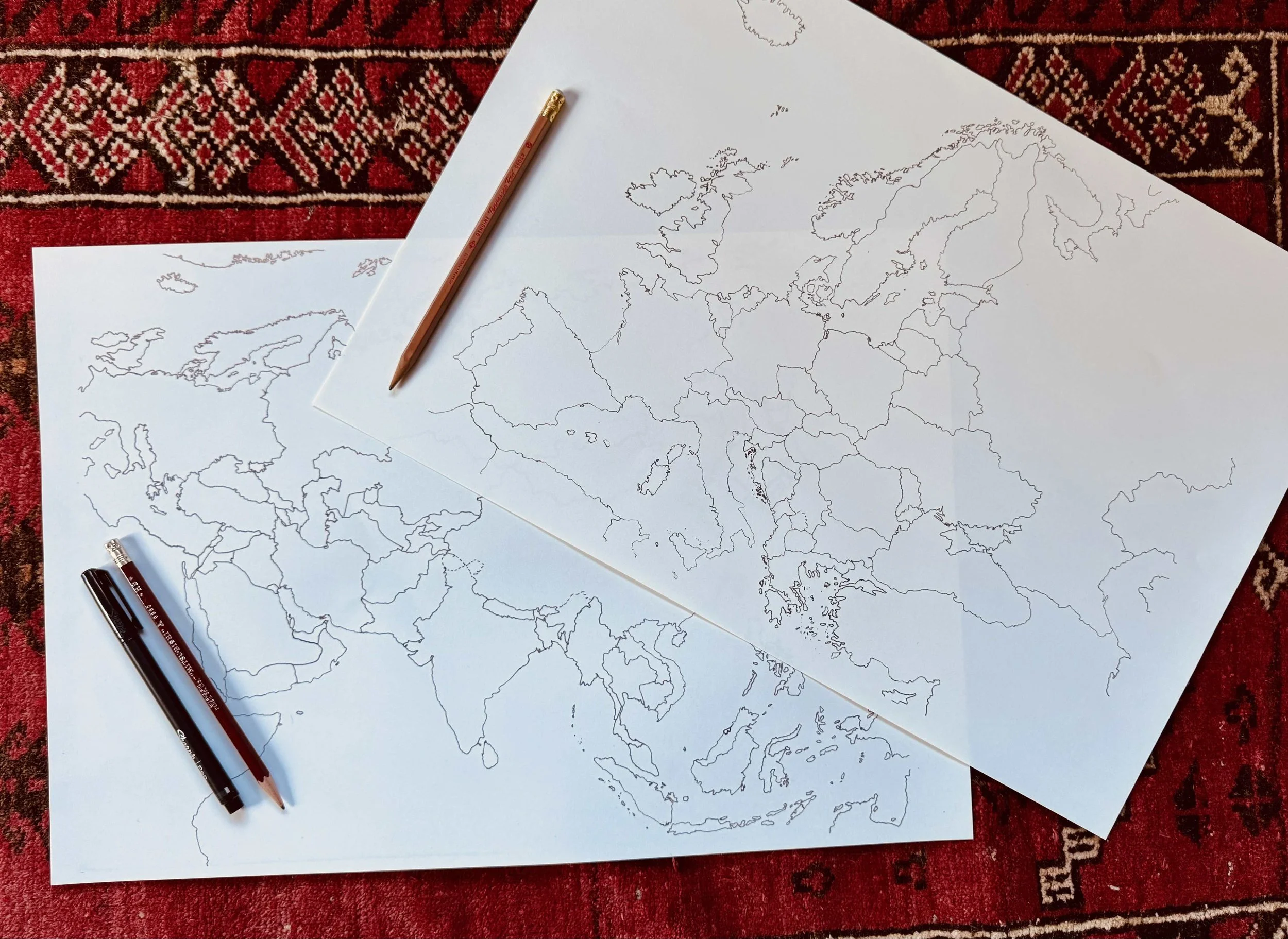 Image 3 of 7
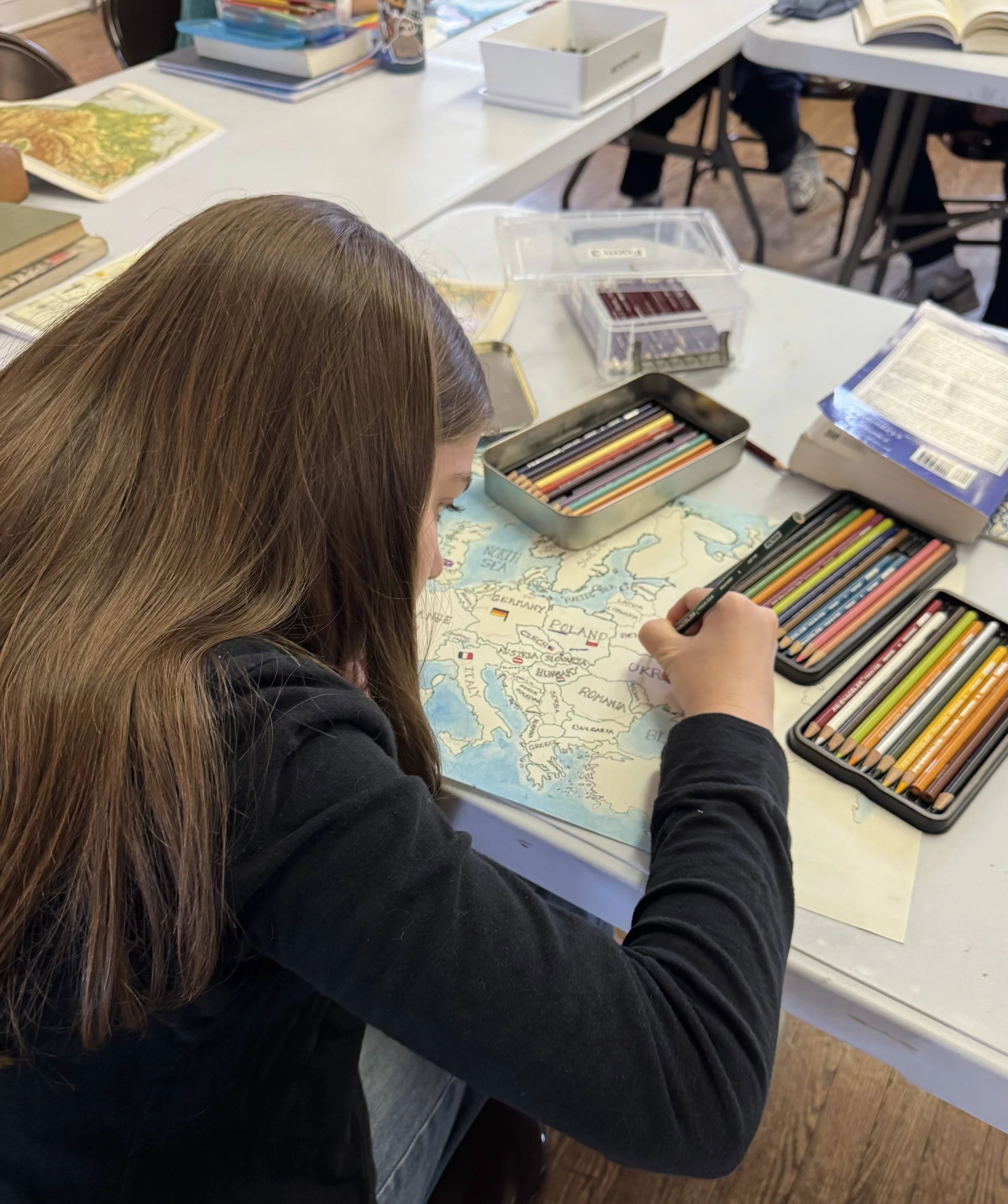 Image 4 of 7
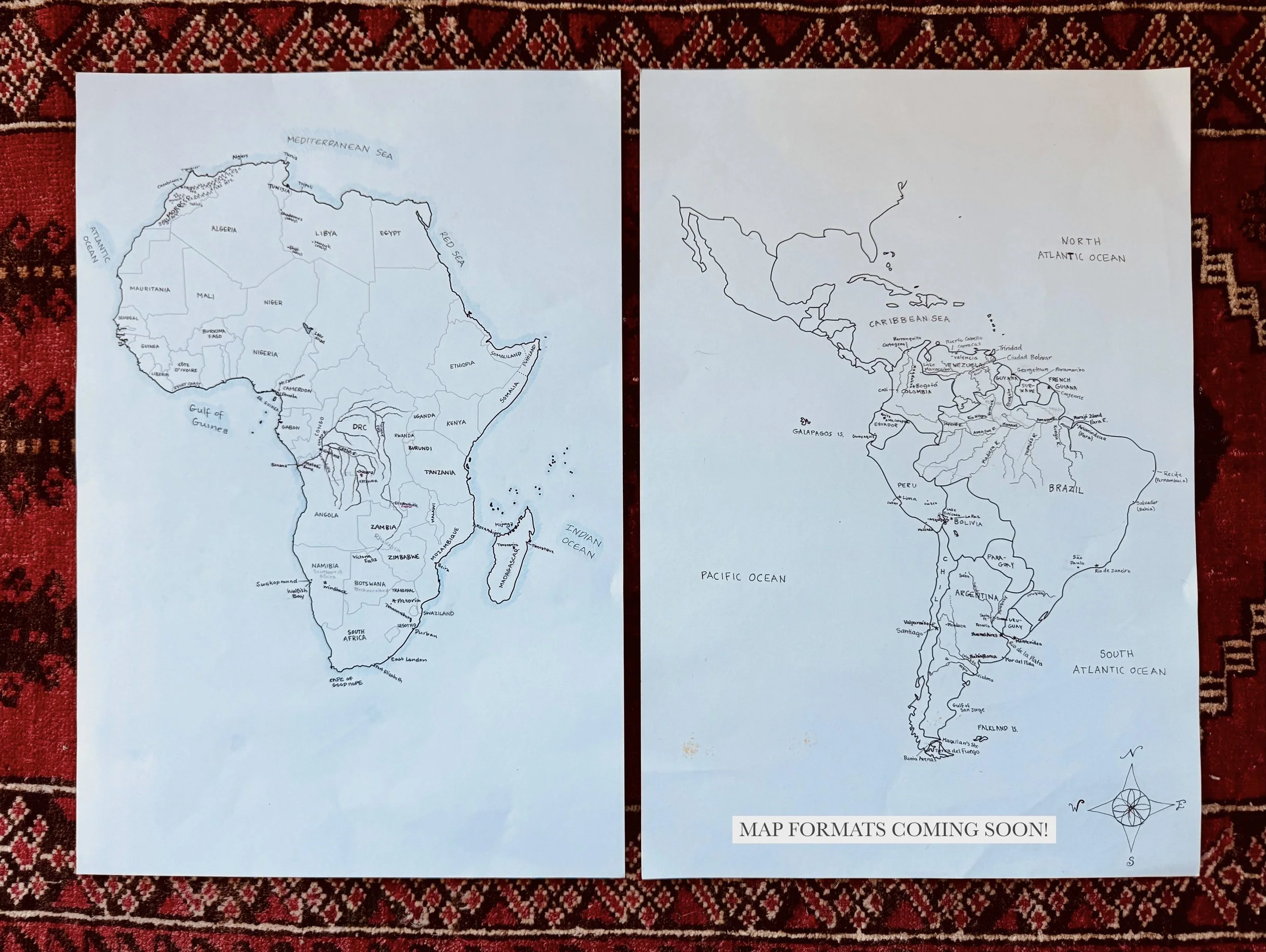 Image 5 of 7
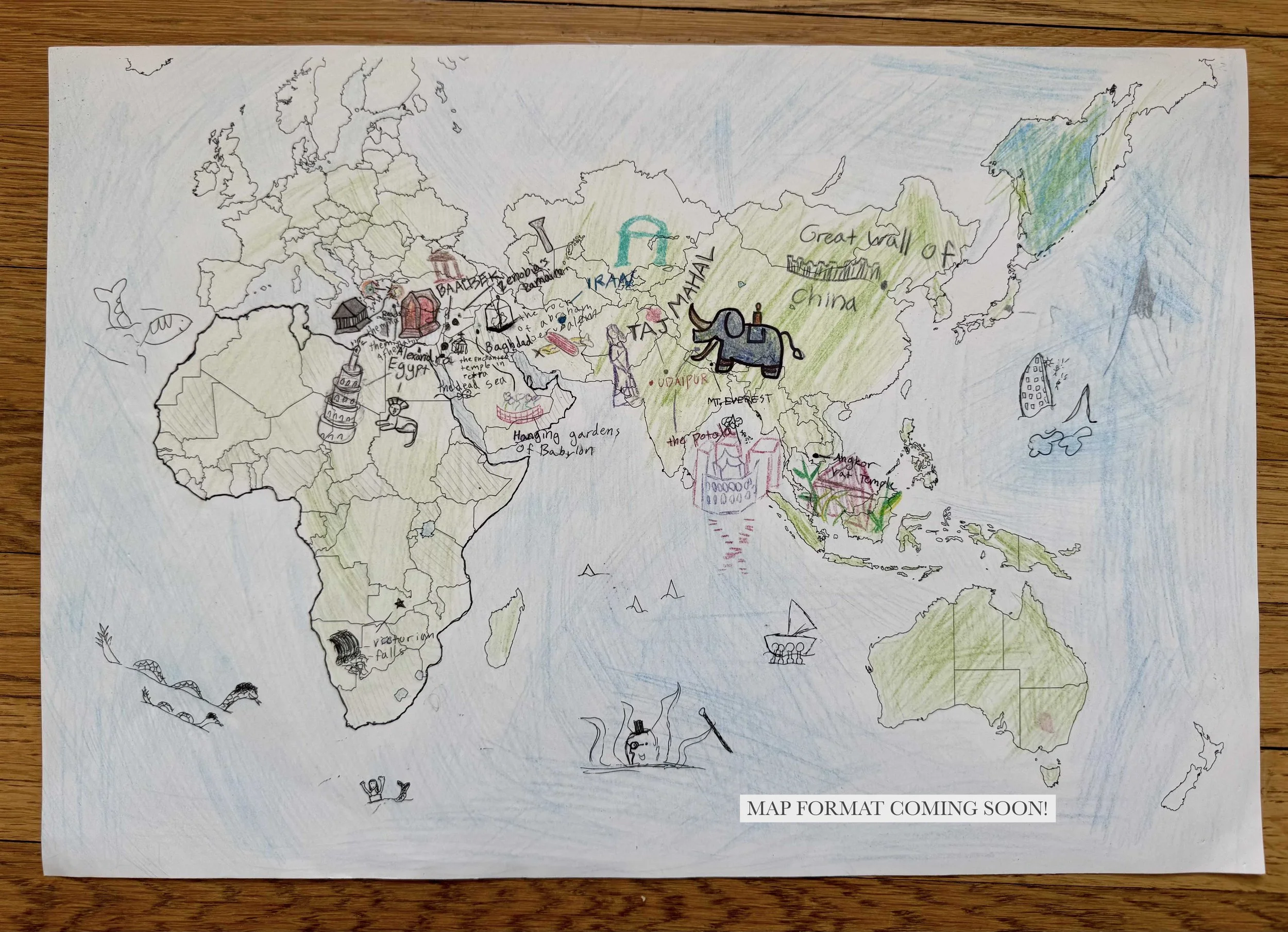 Image 6 of 7