This atlas contains over 90 historical maps and diagrams by editor George Philip, F.R.G.S. Philips’ historical maps are excellent maps designed for the study of physical geography “featuring a uniform system of coloring for the clear expression of physical features.” Included in the front matter is a letterpress comparing major geological features across continents. Our historical reprint edition pulls from five historical Philips’ editions in order to create a comprehensive World Atlas. We have added a series of updated political maps for easy reference.
80 pages, full color reprint, fold-sewn durable softcover design. Our atlas lies flat and is flexible for easy use on your school table. 8.75” x 11” x 0.25”.
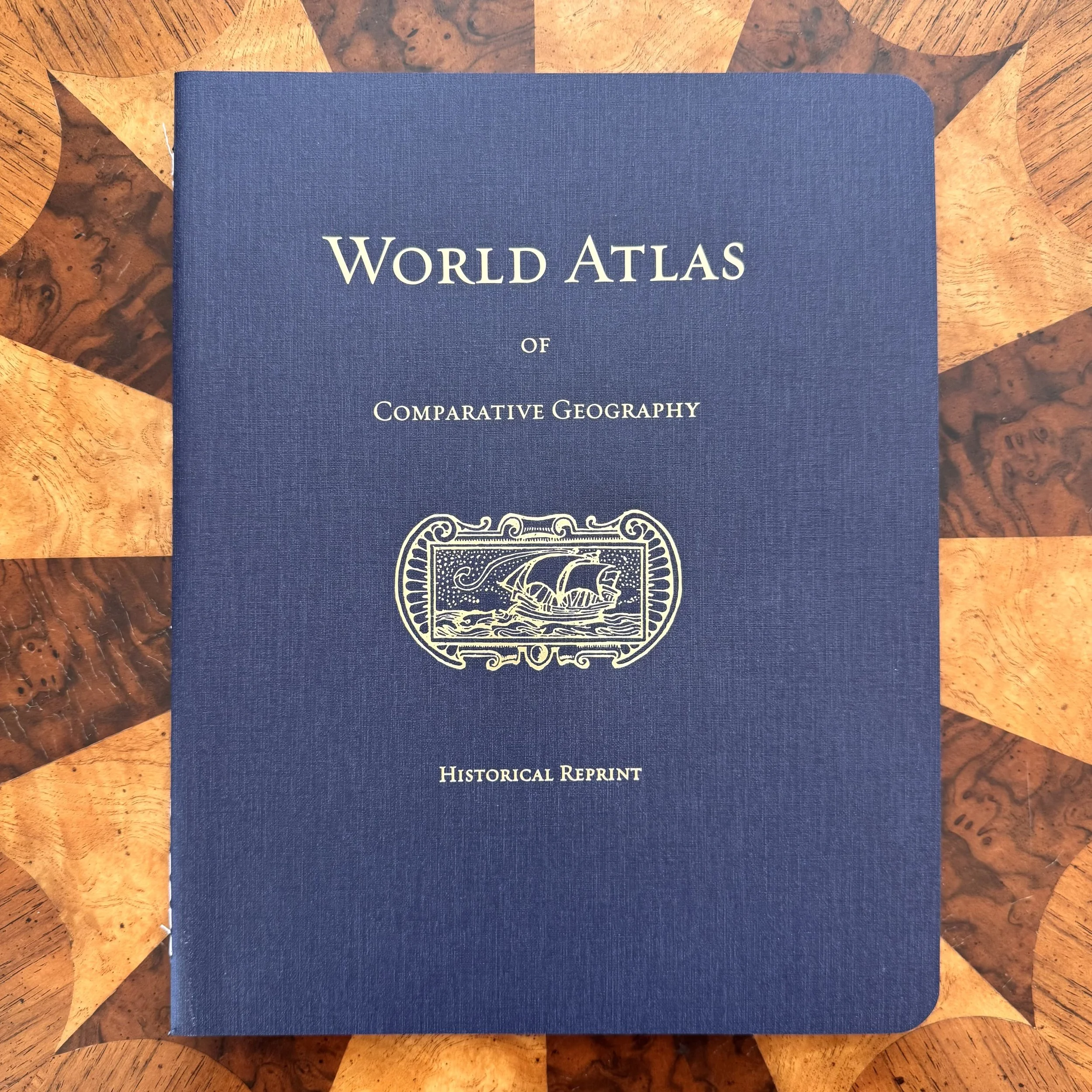 Image 1 of 6
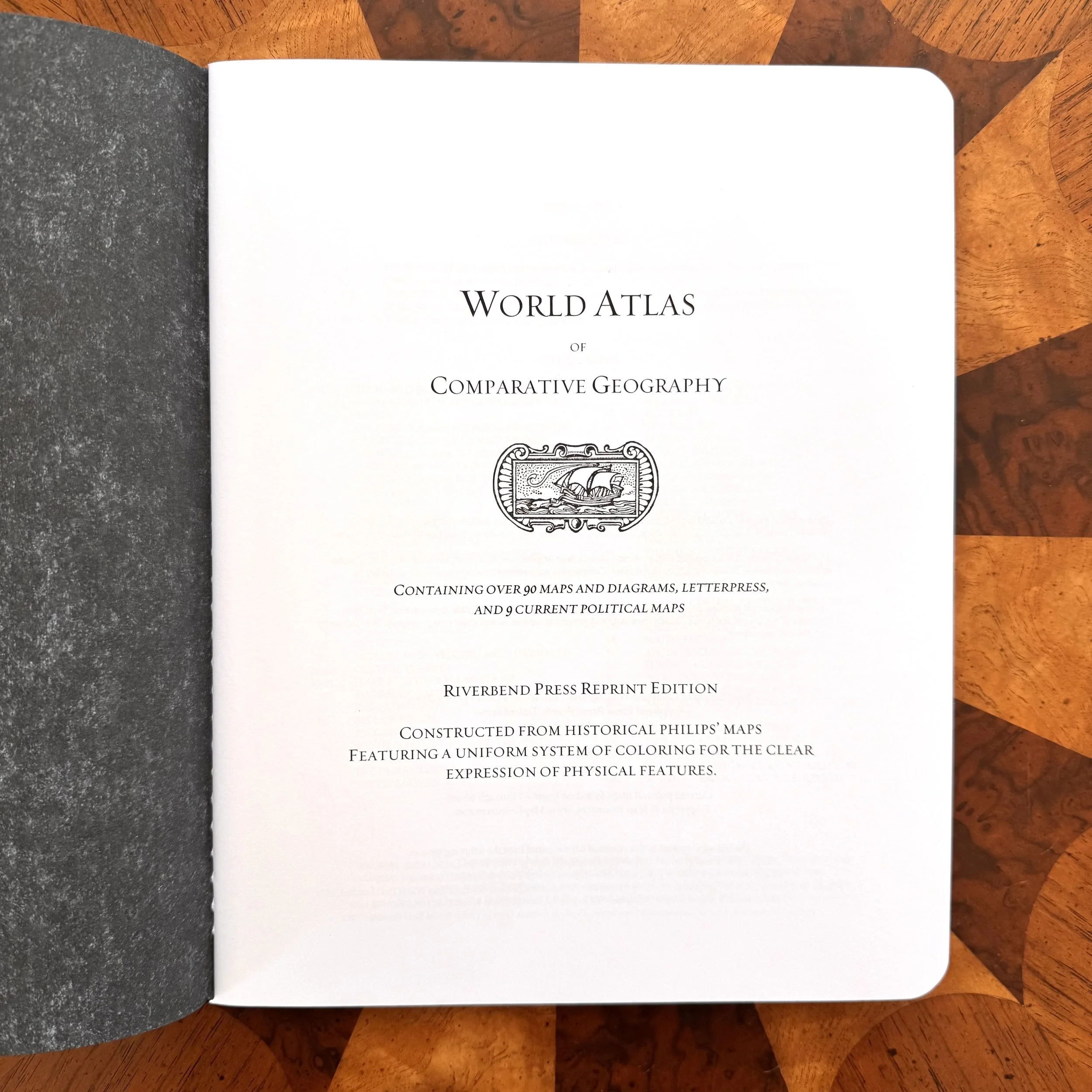 Image 2 of 6
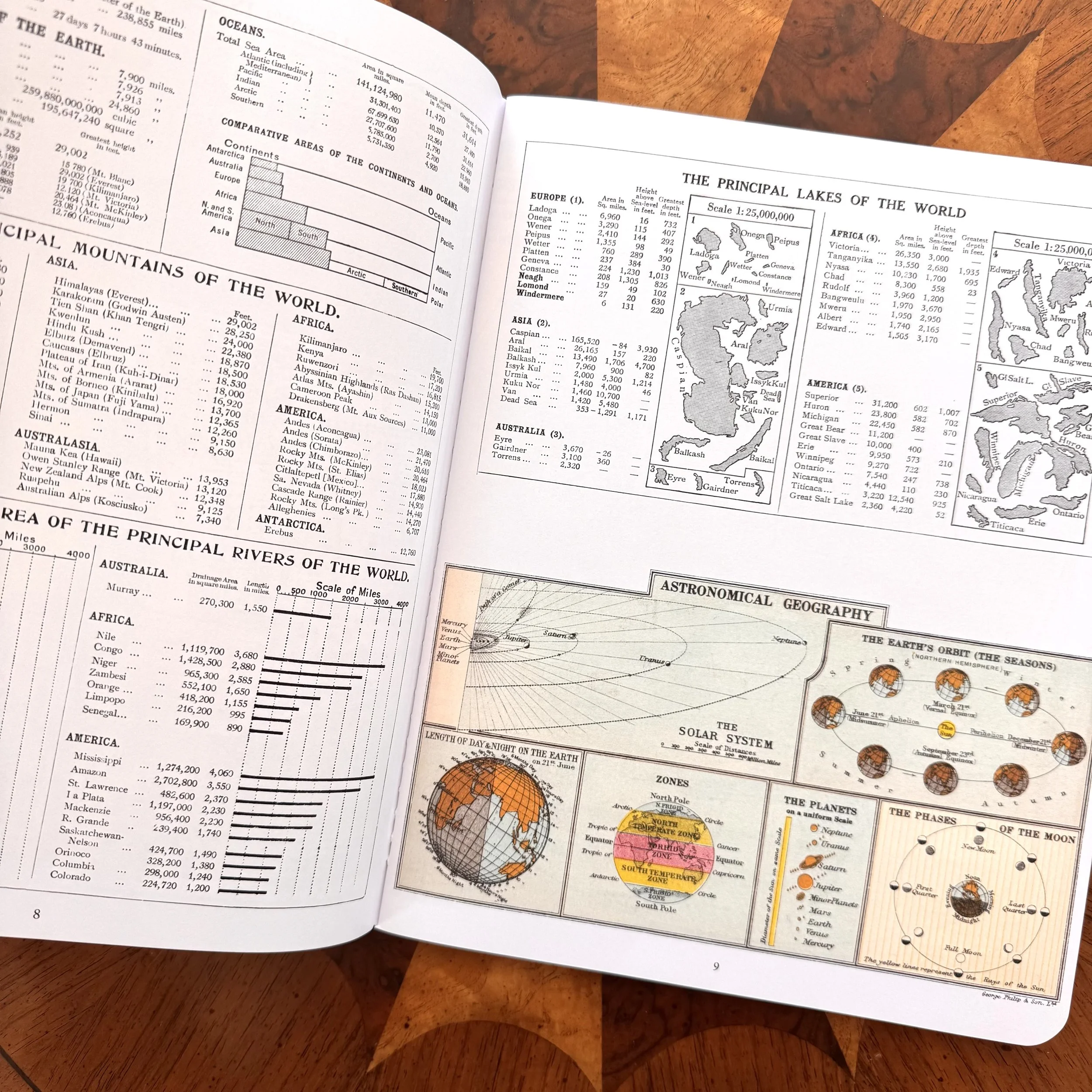 Image 3 of 6
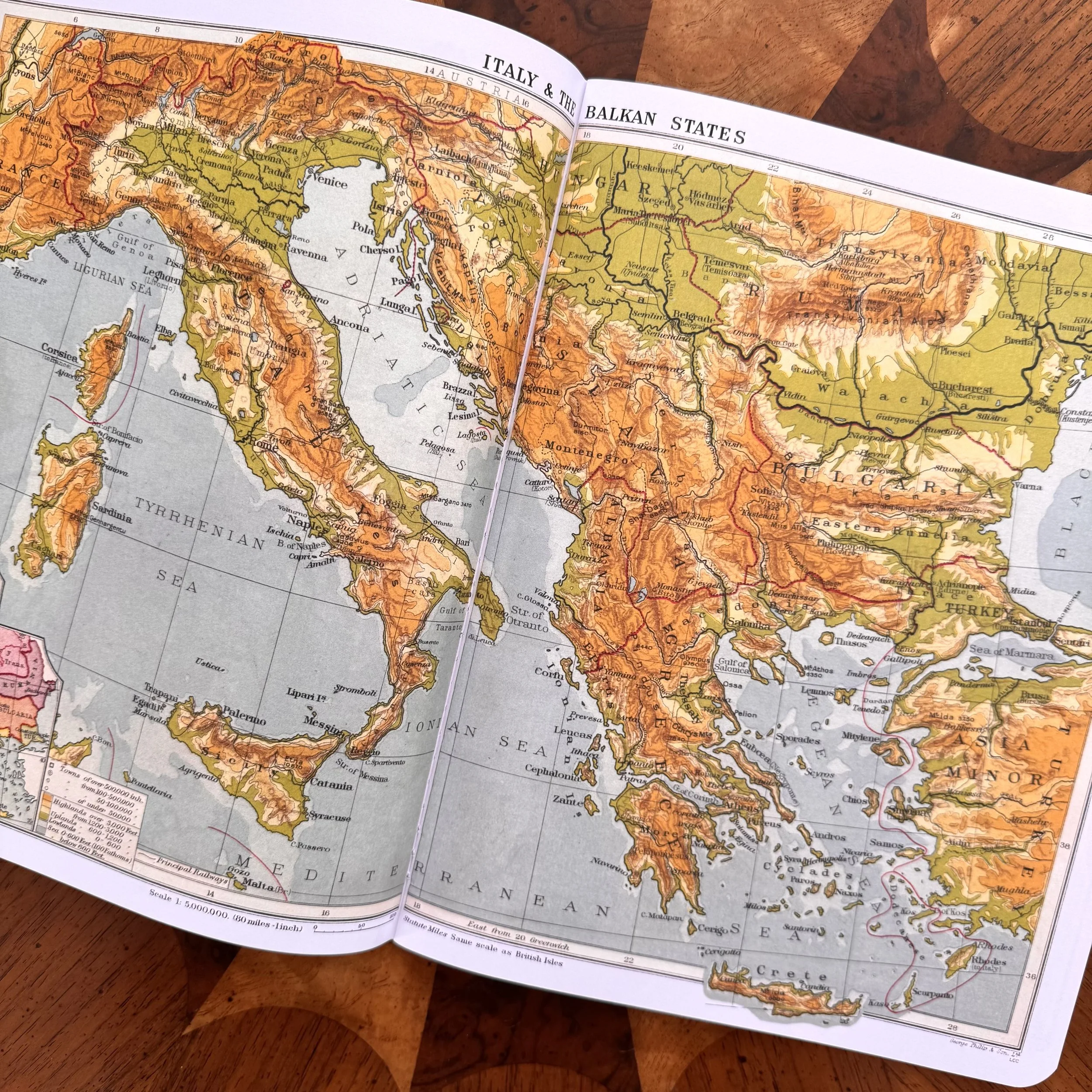 Image 4 of 6
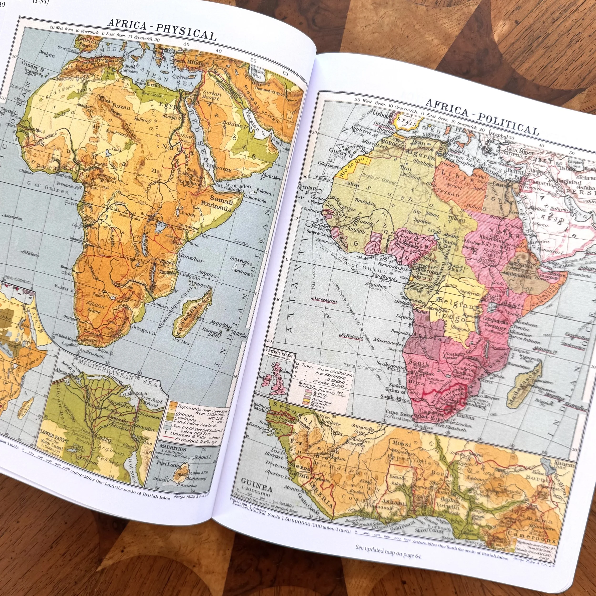 Image 5 of 6
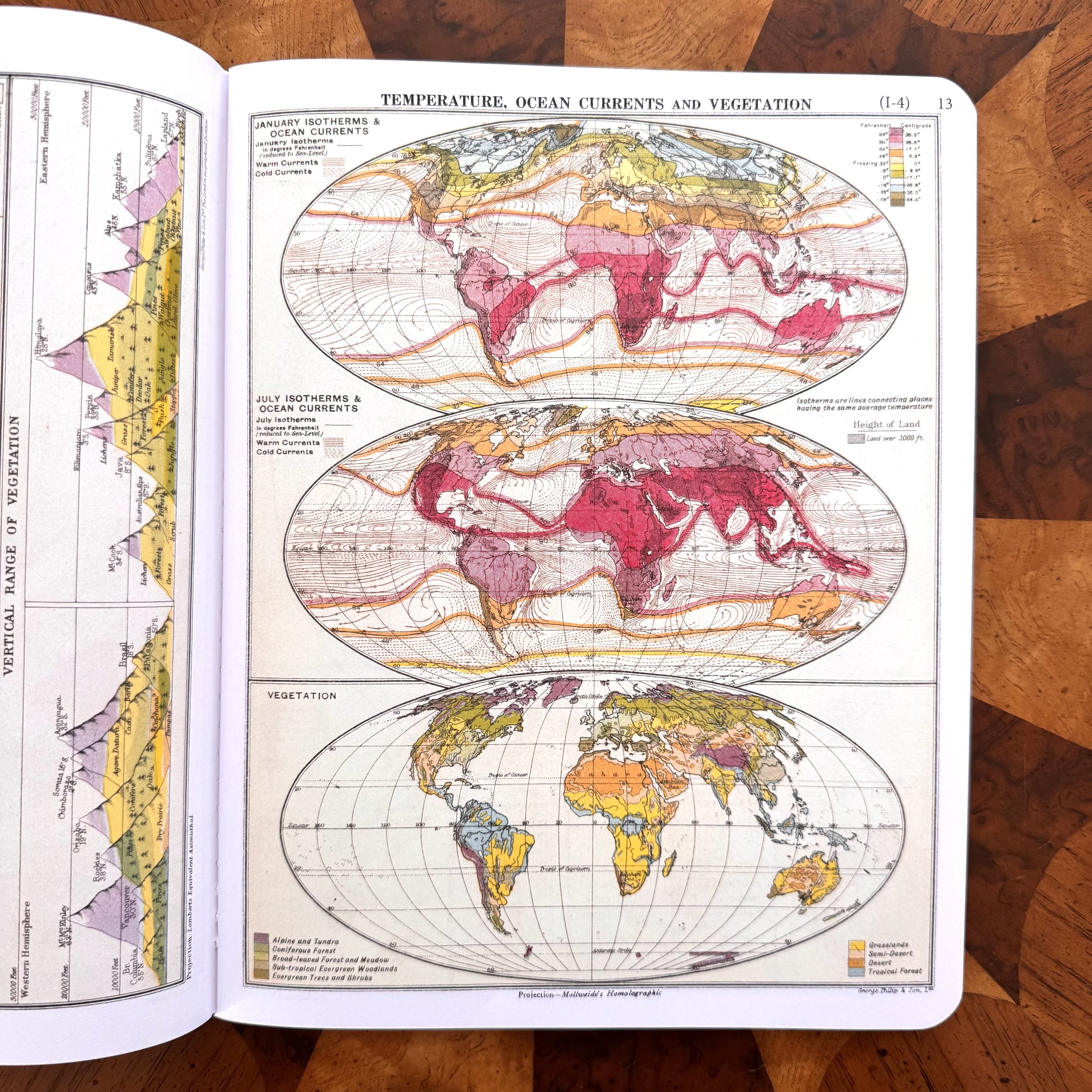 Image 6 of 6