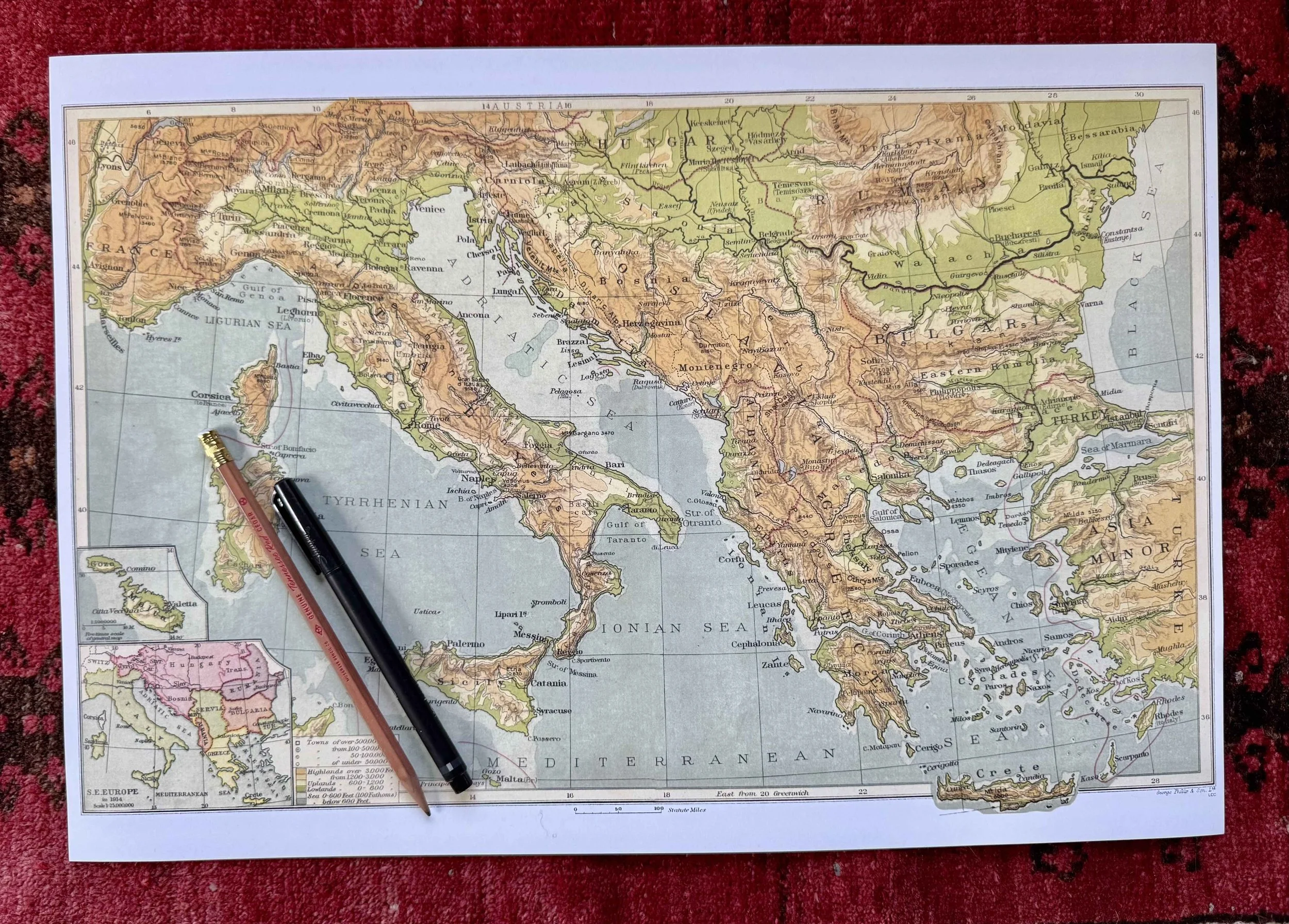
 Image 1 of 3
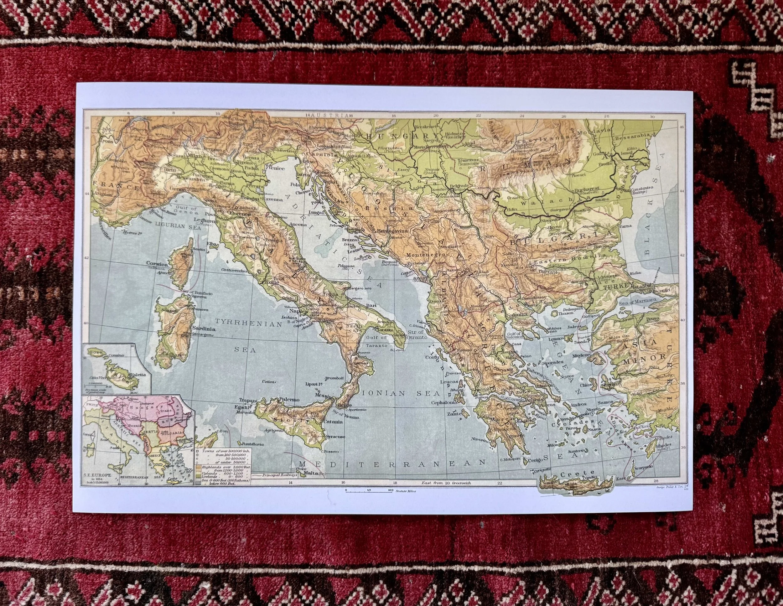 Image 2 of 3
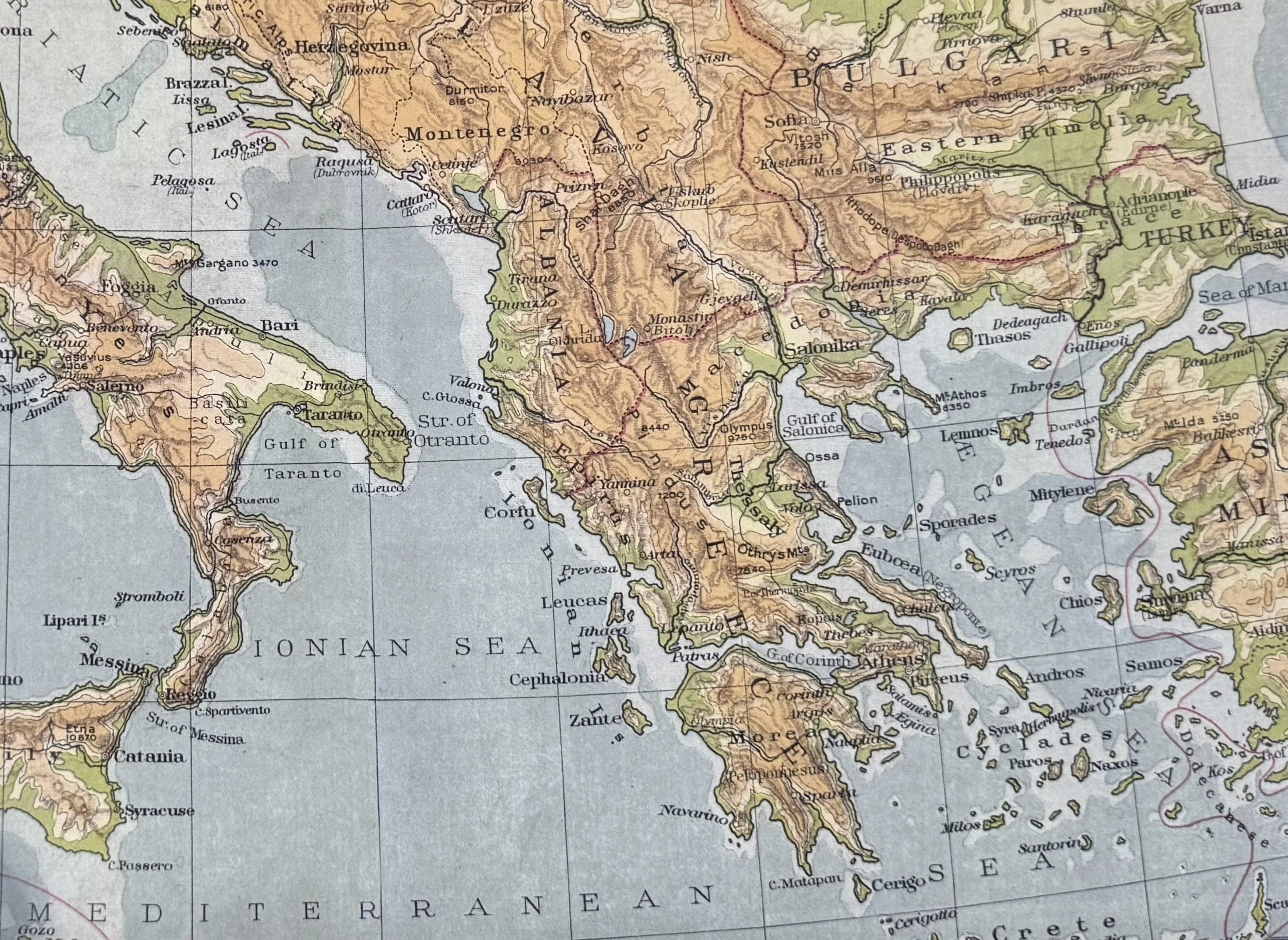 Image 3 of 3
Maps are 13” x 19” (Needs to be updated).
Can be stored flat or folded.